


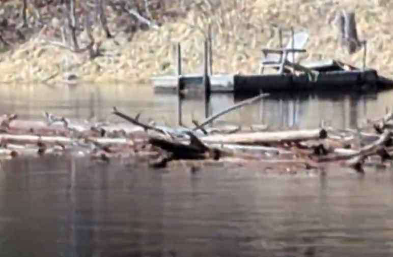
Over 1300 Bracebridge properties were affected by flooding this year
Bracebridge General Committee reviewed the impacts and lessons of the 2026 flood, in the July 7, 2026, meeting.
The staff report outlined the impacts of this spring's flooding, lessons learned and priorities to strengthen future emergency preparedness.
It states that the spring flood topped 2019 water levels in parts of the watershed.
Approximately 1,300 properties in Bracebridge were impacted by flooding, with floodwaters reaching about 716 residential structures, including approximately 334 permanent homes.
Road impacts included 4 District roads, 13 Town roads and about 18 seasonal and private roads that experienced varying levels of flooding.
Some areas of the watershed experienced record water levels beginning April 13. Lake of Bays, Lake Rosseau, and the Bala Reach all exceeded water levels recorded during the 2019 flood.
Staff noted that although this year’s flood did not have the same visible impacts as 2019, such as a municipal emergency declaration or military assistance, it was comparable in severity in some locations.
The report credits investments made since 2019 to improve municipal infrastructure, including road elevations and culverts, with reducing infrastructure failures and improving safety for residents and municipal operations.
It also indicates that mitigation measures undertaken by many property owners following the 2019 flood, along with improved forecasting and advance warning, provided more time to prepare and contributed to a more coordinated emergency response.
Looking ahead, the report identifies several priorities, including continued work to address municipal infrastructure trouble spots, development of an internal spring freshet preparedness checklist, expanded community education on flood preparedness, volunteer management planning, and advocacy related to watershed management and provincial disaster assistance programs.
Committee members discussed concerns about the impact from conditions in the Port Carling area and asked staff whether additional analysis was being undertaken to better understand the challenges at the mouth of the river.
Staff said they are in discussions with the Ministry of Natural Resources and Forestry (MNRF), which is continuing to analyze why this year’s flooding differed from 2019.
They pointed to a significant surge of water from Algonquin Park and backflow in the Port Carling area into Lake Muskoka, however, they’re waiting for further data from the MNRF to better understand the situation.
 Alzheimer Society expanding Adult Day Program
 Rotary/NyDock Dockfest impacts traffic on Saturday
 District approves new funding round for Fairvern development
 Gravenhurst accepting nominations for Daisy Awards
 Police lay thousands of charges over the Canada Day week










Comments
Add a comment